
Having a comprehensive geotechnical understanding of your quarry and a Ground Control Management Plan (GCMP) is vital
Using the latest drone wall mapping techniques we can quickly and effectively gather the information required to create a sound, practical geotechnical model of your site.
From this we work with you to provide a practical Ground Control Management Plan (GCMP) that is relevant, understandable by your team and provides clear recommendations on what actions need to be taken and when.
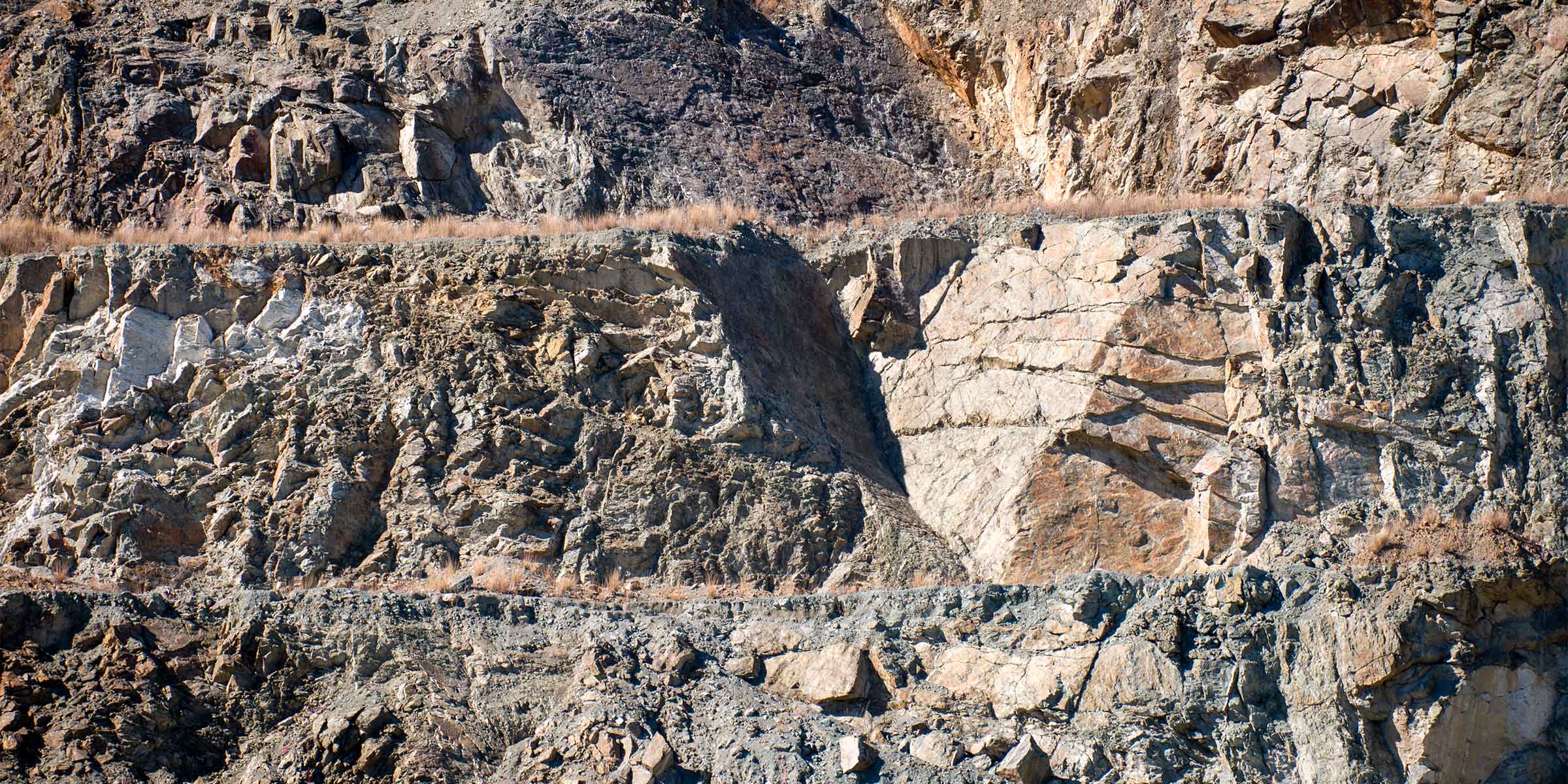
The traditional approach to mapping rock structures is to have a geologist or geotech work at the face with a Brunton compass, measuring strike and dip. This can be dangerous!
We can produce extremely accurate 3D representations of a face using a drone – fast, safe and much more geo friendly!
GEOTECHNICAL
Services we offer
Operational support
- Risk assessments
- Incident investigations and ICAMs
- Hazard and slope failure advice
- Advice on instrumentation, monitoring and surveillance of geotechnical hazards
- Management system reviews
Monitoring
- Drone exposure mapping and geotechnical characterisation
- Geotechnical monitoring solutions
Geotechnical reports
- Pit slope and waste dump stability assessment and design
- Guidance for site investigations, field and laboratory testing
- Third party and peer reviews
Ground Control Management Plans
- GCMP creation
- Third party and peer reviews
Geotechnical Awareness Training
- Operational hazard awareness for managers, supervisors and operators